| Feature |
Traditional GPS Navigation |
PPVS Vision System |
| Accuracy |
±10–20 cm |
±2–3 cm |
| Obstacle Detection |
Limited |
Advanced AI vision |
| Terrain Adaptability |
Low |
High |
| Weather Performance |
Affected by snow |
Adaptive to conditions |
| Cost Efficiency |
Moderate |
High ROI over time |
With PPVS navigation, autonomous snow blower don’t just follow a path—they see the path.
Integration of PPVS in Robotic Mowers and Snow Blowers
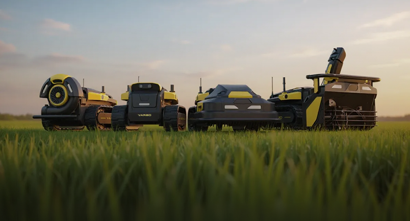
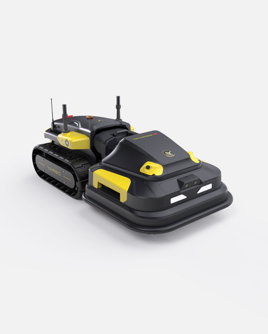
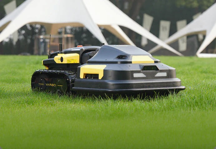
The same PPVS system powering snow blowers also drives modern robotic lawn mowers, showcasing its modular versatility. This shared ecosystem means homeowners can use a single base module for both summer mowing and winter clearing—reducing costs and maximizing year-round efficiency.
Cross-Season Utility
PPVS seamlessly transitions between green lawns and white snow. Whether mapping grass boundaries or snow perimeters, its learning model recognizes terrain features and applies the best navigation strategy automatically.
Benefits of PPVS Navigation for Homeowners
For homeowners, PPVS translates into:
-
Ensures consistently well-cleared paths under most conditions.
-
Reduced maintenance, since collisions and inefficiencies are minimized.
-
Greater safety, as the system recognizes and avoids obstacles like pets or parked cars.
-
Long-term savings, through energy efficiency and reduced wear.
Efficiency, Safety, and Cost Savings
A PPVS-equipped robot doesn’t just save hours of manual labor it enhances property safety during snowstorms, reducing risks of slips or driveway damage.
Case Study: Yarbo’s Vision-Driven Navigation System
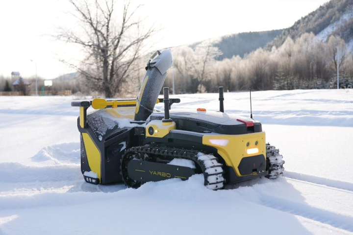
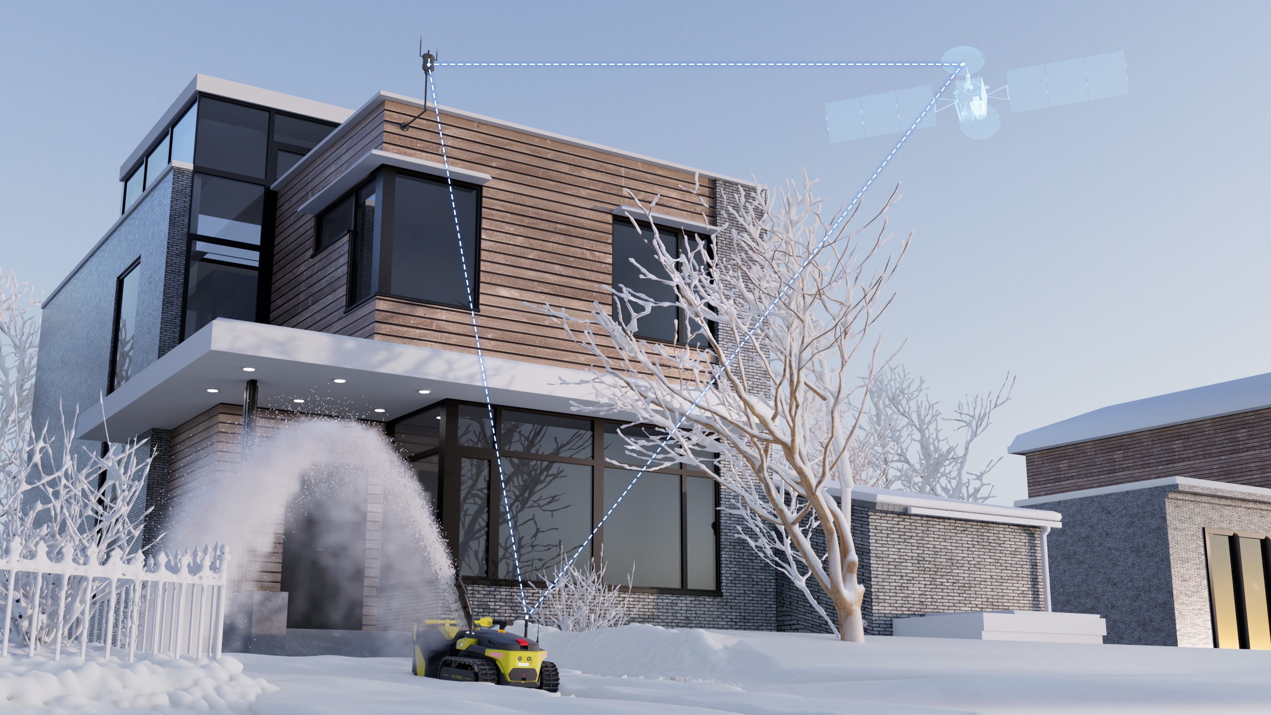
Yarbo, a leader in modular yard robots, utilizes an advanced PPVS navigation core across all its products. The Yarbo Snow Blower and Lawn Mower are built on the same modular base, which uses AI vision, GPS RTK, and LiDAR for precise path tracking.
User Experience Insights
Customers report:
-
Over 95% path accuracy in snow removal.
-
Reduced clearing time by 40% compared to manual blowers.
-
Zero collisions in months of operation.
These results prove the reliability of PPVS in real-world conditions.
The Future of Robot Navigation
The evolution of robot navigation is moving toward self-learning systems capable of predicting environmental changes and optimizing paths autonomously.
As smart home ecosystems expand, homeowners can expect fully synchronized yard management systems capable of communicating with weather apps and home assistants.
Conclusion
The PPVS Navigation System represents a monumental leap in robot navigation for
autonomous snow blower and robotic mowers. By merging vision-based intelligence with precision GPS, it delivers unmatched accuracy, safety, and adaptability in every season. As vision technology continues to evolve, PPVS will remain at the core of smart, autonomous yard care—bringing effortless outdoor management to every home.
FAQs
1. What does PPVS stand for in robot navigation?
PPVS stands for Perception and Path Vision System, a technology combining vision sensors and GPS data to guide autonomous robots with precision.
2. How is PPVS better than GPS-only navigation?
While GPS helps determine global location, PPVS adds real-time vision to identify and react to local obstacles—making it far more accurate and adaptive.
3. Can PPVS work in heavy snowfall or darkness?
Yes, PPVS uses infrared and depth-sensing cameras, allowing operation in low-light or snowy conditions.
4. Does PPVS require manual calibration?
Initial setup may involve simple calibration, but the system self-learns and adjusts automatically over time.
5. Is PPVS used in other robots besides snow blowers?
Absolutely. The same system powers robotic lawn mowers, delivery bots, and even warehouse automation systems.
6. How does PPVS handle slippage on ice or wet snow?
PPVS utilizes IMU and odometer data to monitor slippage. When skidding is detected, the system executes a Grip assist algorithm(GAA) , allowing the robot to regain traction and return to its planned path.
 Skip to content